日本語
日本語 English
 中国語
中国語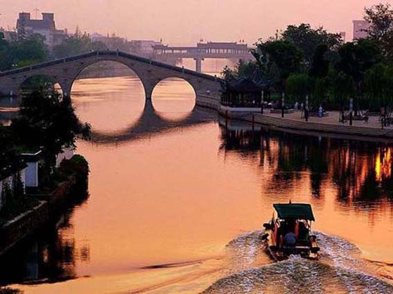
The Grand Canal represents the greatest masterpiece of hydraulic engineering in the history of mankind, because of its very ancient origins and its vast scale, along with its continuous development and its adaptation to circumstances down the ages. It provides tangible proof of human wisdom, determination and courage. It is an outstanding example of human creativity, demonstrating technical capabilities and a mastery of hydrology in a vast agricultural empire that stems directly from Ancient China. (UNESCO World Heritage List)
by David Parmer / Tokyo
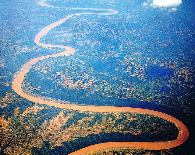
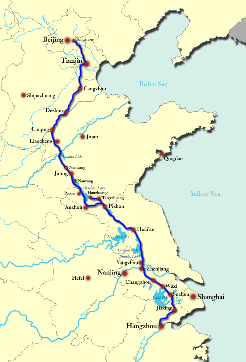
Unlike China’s other great treasure, the Great Wall, the Grand Canal is not only an historical relic, but it is also a vibrant part of China’s culture and economy, important today as it was in the 13th century. The 1776 km Hangzhou-Beijing canal, or the Grand Canal, runs from Hangzhou in Zhejiang province through Jiangsu, Shandong, and Hebei provinces. In the North, its route passes Tianjin and ends up in Beijing.
The Grand Canal was started in the late Spring and Autumn period (770-470 BC). The officially agreed upon date seems to be 486 BC. Various sections were linked together during the Sui Dynasty (581-618 AD) and the project reached completion and its near 2,000km length during the Yuan dynasty (1279-1386 AD). Today only the section from Hangzhou to Jining (see illustration above) is navigable. Some sections in the North have dried up and become impassable or are severely polluted. Historically the canal was used to transport grain from southern China to northern China. The bricks for the Forbidden City in Beijing and the timbers for the Ming Tombs also came north along the canal. Since the end of WWII it has been used to transport building materials and fuel. Estimates are that some 100,000 vessels ply the waters of the Grand Canal every year.
China’s rivers generally flow from west to east, and this is one reason why the south to north flow of the Grand Canal is so important. It not only permits the transport of goods from south to north, but also links five of China’s rivers. In addition to the Yangtze and Yellow rivers, it also links the Huaihe, Haihe and Qiantang rivers.
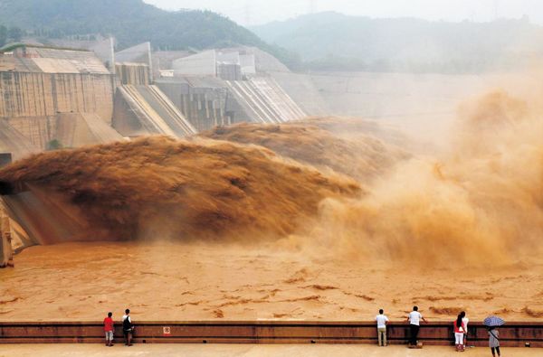
The Grand Canal is indeed an engineering marvel; it is 10 times longer than the Suez Canal and 22 times longer than the Panama Canal. It is also the longest artificial river in the world. The canal is 1.0m below sea level in Hangzhou but 38.5m above sea level in its modern navigational terminus and Jining in Shandong province. There are 24 locks along the river that make this possible.

In 2014, the once-neglected Grand Canal was declared an UNESCO World Heritage Site. It is valued for its cultural value as well as its ongoing contribution to China’s economy. Throughout history the canal has brought goods and culture from one part of vast China to the other. Efforts are ongoing to improve not only the maintenance of the waterway but also the communities along its way. It is clear that the Hangzhou-Beijing canal will continue to have a major influence on the region and the country in this century and for centuries to come.
UNESCO World Heritage Centre
http://whc.unesco.org/en/list/1443
China Daily: Multi-part video series on Grand Canal in Chinese with English subtitles
http://video.chinadaily.com.cn/2013/1031/1518.shtml
Photos:
Top: China Discovery
Map: Wikipedia
Bottom: CNTO