日本語
日本語 English
 中国語
中国語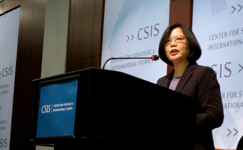
by David Parmer
As for the January 2016 Taiwan national elections, (presidential and legislative) what is interesting will not be the election results, but rather the results of the election. The election results seem pretty much a given: Democratic Progressive Party (DPP) candidate Tsai Ing-wen will win by a comfortable majority. Kuomintang (KMT) party Chair Eric Chu will finish a respectable second (which is why he was brought in to replace Hung Hsiu-chu, who was headed into the black hole of ignominious defeat, dragging the KMT with her) and People First Party’s James Soong will get the crumbs. Those will be the election results and should come as no surprise to anyone. The big question is what will be the results of the election?
Presumptive winner Tsai has said in effect that she won’t rock the boat regarding cross-strait ties. And that is good news as far as Washington and Beijing are concerned. Perhaps there will be some social legislation and domestic restructuring. The China Post reported on September 6, 2015 that the Tsai proposes using defense spending budget to promote local industries, and that she argues the government should do more for infrastructure projects to promote employment. Specifically this would include upgrading IT, green technology and industries related to people’s daily lives. In foreign policy Tsai is said to focus on Taiwan’s traditional ties with the USA, and might become friendlier with Japan.
Three real questions remain however:
1) How will Beijing react to a DPP victory in the presidential and legislative elections? Will there be “business as usual” as there has been with the KMT, or will there be a cooling down and heating up of cross strait ties?
2) Once the DPP was won, they will become “the establishment.” How will the student movement deal with the new administration? Will the DPP get a pass from the younger generation, or will it have to prove itself by actions?
3) What does the shift toward a “Taiwan Identity” mean? Reports suggest that many people see their identity as Taiwanese and not Chinese. How will 3) affect 1) and 2) above?
Please log in and give us your thoughts on the Taiwan elections 2016.
Photo: DPP Facebook Page